Hydraulic Modeling, Mapping, and Analysis Mitigate Flood Impacts
Trihydro supported the Strategic Alliance for Risk Reduction II team in its mission to reduce the loss of life and property caused by floods by providing hydraulic analysis and risk mapping services. Our project deliverables help communities nationwide make informed flood preparation and risk mitigation decisions.
The Strategic Alliance for Risk Reduction II (STARR II) team is focused on flood risk mapping, assessment, communication, and mitigation. With the mission to reduce the loss of life and property caused by floods, STARR II assists the Federal Emergency Management Agency (FEMA) in working with communities nationwide to prepare for and respond to these natural disasters.
STARR II selected Trihydro as a subcontractor to provide hydraulic analysis and flood mapping services for this mission.
Hydraulic Modeling
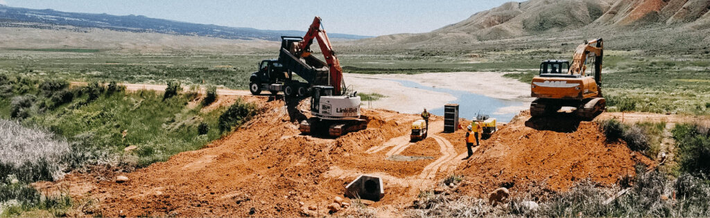
Trihydro used the US Army Corps of Engineers River Analysis System software to model 52 river miles covering 12 streams in Carbon and Monroe counties in northeastern Pennsylvania. The hydraulic modeling incorporated detailed field survey information for over 80 structures and used high-resolution spatial datasets to parameterize the models.
Trihydro also used lidar-based digital elevation model datasets and bathymetric survey information to create the hydraulic model cross sections. Modeling included the FEMA standard suite of events classified by chance of occurrence (10%, 4%, 2%, 1%, 0.2%, and 1%-plus) in a given year, as well as a floodway analysis. Our team used the results to create flood mapping products for inclusion in updates to the countywide Flood Insurance Study reports.
Hydraulic Analysis
In addition to the hydraulic modeling and mapping tasks, Trihydro prepared floodway data tables for the study streams and a Hydraulic Analysis Report documenting the methodology, assumptions, and data used in the hydraulics analysis. Additionally, Trihydro developed a GIS database compliant with the “Hydraulics Data Capture Standards, Technical Reference: Data Capture Standards (February 2019).”
Trihydro’s work with the STARR II team to support FEMA will help communities make better-informed flood and risk management decisions.